

Project
Smart Space District
Technologies
Optical satellite imagery, SAR interferometry, IoT sensors, Data meshing, and AI-powered data analysis models
Period
2022-2025
Partner
Polytechnic University of Bari
Industry
Smart Cities
Issue
Urban environments face a dual challenge: environmental degradation, including reduced vegetation and urban heat islands, and aging infrastructure that requires continuous monitoring. Traditional ground-based approaches offer limited spatial coverage and are not sufficient to provide a comprehensive and scalable understanding of both environmental dynamics and structural behaviour across entire urban areas.
Solution
To overcome the limitations of traditional monitoring approaches, a satellite-based InSAR monitoring approach was adopted, using multi-temporal Sentinel data to enable continuous, large-scale monitoring. By analysing satellite data collected over time, it becomes possible to move beyond static observations and understand how both infrastructure and environmental conditions evolve. A-DInSAR processing enables the detection of ground and structural deformation at millimetric scale. At the same time, multi-spectral analysis, combining optical and thermal satellite data, enables the continuous monitoring of key environmental indicators, including vegetation indices (NDVI, EVI), used to assess vegetation health and density, land use classification and surface temperature. All data sources are integrated within the Titan4 Earth Intelligence platform, providing a unified and scalable view of environmental and infrastructural conditions.
Results
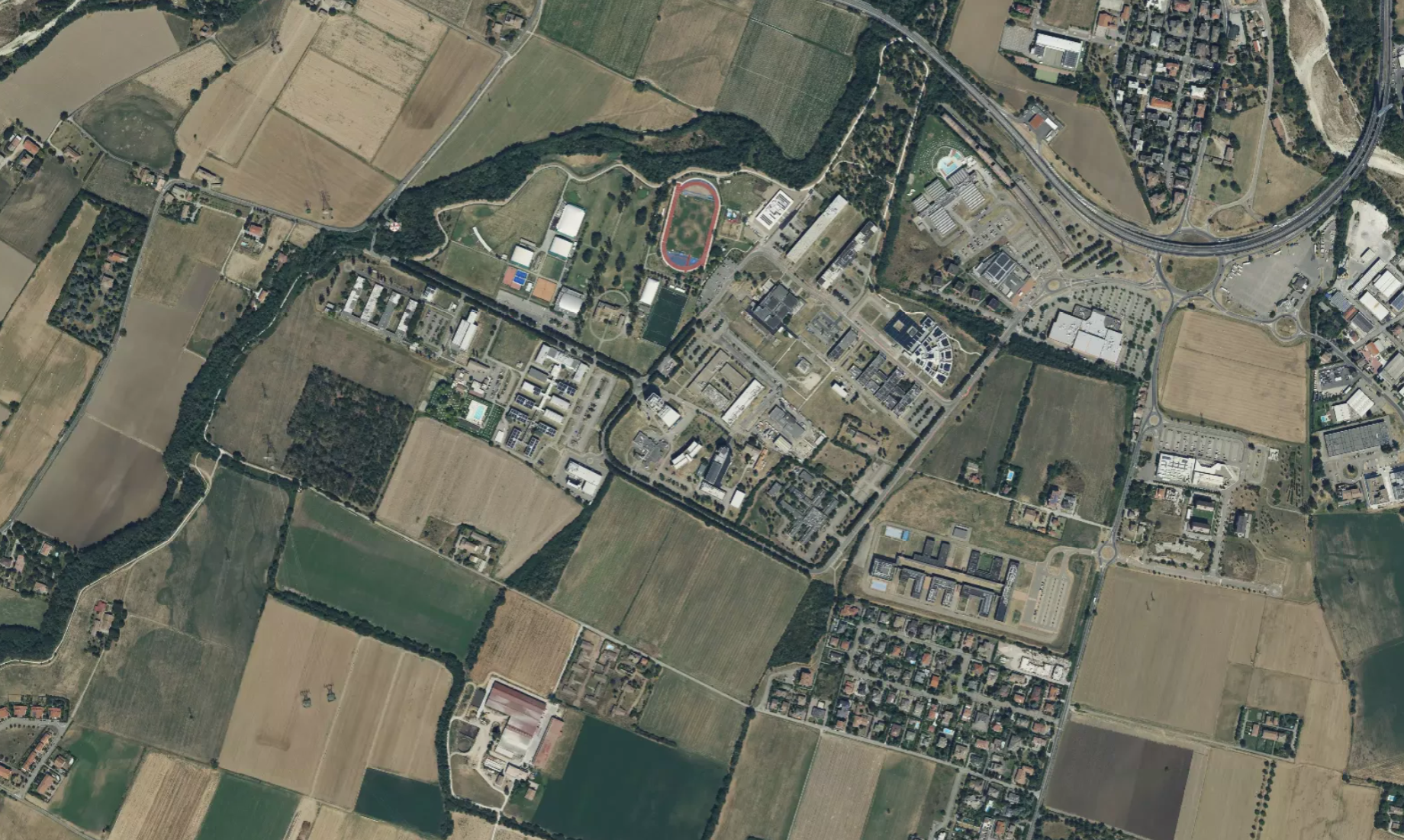
01 — Environmental Analysis
Figure 1: Base Map - Smart Space District
Legend
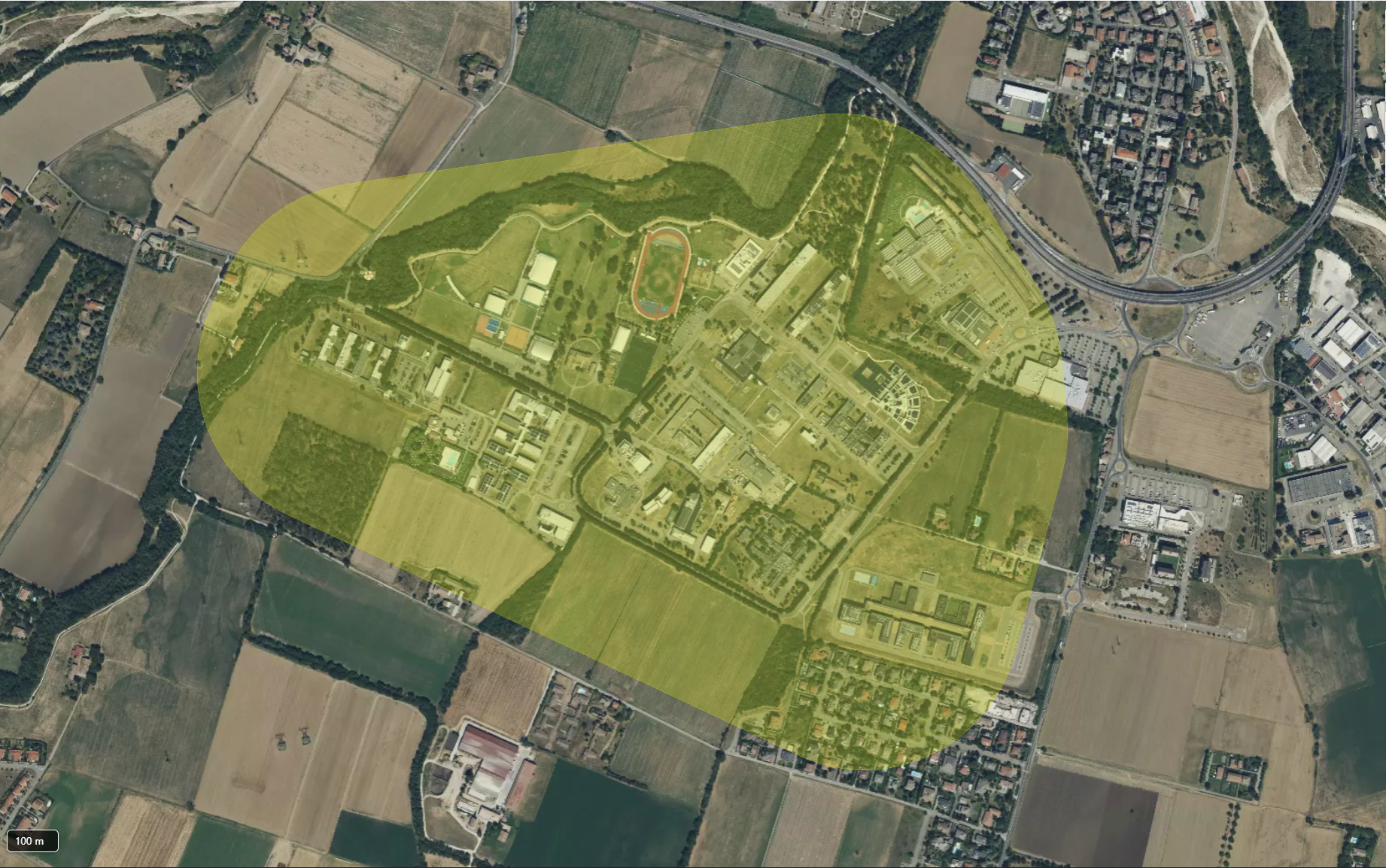
02 — Infrastructure Analysis
Figure 2: Data on the Area of Interest (AOI) - Smart Space District
Legend
Benefits
The Titan4 Earth Intelligence platform provides centralized access to multiple layers of analytical data within a unified spatial environment, enabling the correlation between environmental and infrastructural indicators and making it easier to identify areas subject to risk and ongoing changes. This integrated view supports a clearer understanding of urban dynamics and allows more informed, data-driven decisions. By offering continuous monitoring at scale, the platform helps public authorities move from fragmented assessments to a more proactive and structured approach to risk management and urban planning.

